Type of resources

Available actions

Topics

Keywords

Contact for the resource

Provided by

Years

Formats

Representation types

Update frequencies

Status

Service types

Scale

Resolution

From 1 - 10 / 95
  • Categories  

    During National Science Week on Sunday 26th August 2007, Geoscience Australia opened its doors to the community to showcase a diverse range of work activities. Members of the public had the opportunity to discover how earthquakes are detected, pan for gold, tour the building, view Australia in 3D, become a seafloor detective and talk to the people who work for Australia's national geoscience research organisation. The photographs of that open day have been converted into thumbmail images and are available on the GA web site.

  • Categories  

    This dataset is the definitive set of locality boundaries for the state of Victoria as defined by Local Government and registered by the Registrar of Geographic Names. The boundaries are aligned to Vicmap Property. This dataset is part of the Vicmap Admin dataset series.

  • Categories  

    This dataset is the definitive set of locality boundaries for the state of Victoria as defined by Local Government and registered by the Registrar of Geographic Names. The boundaries are aligned to Vicmap Property. This dataset is part of the Vicmap Admin dataset series.

  • Categories      

    Major hydrological basins and their sub-basins. This dataset divides the African continent according to its hydrological characteristics. The dataset consists of the following information:- numerical code and name of the major basin (MAJ_BAS and MAJ_NAME); - area of the major basin in square km (MAJ_AREA); - numerical code and name of the sub-basin (SUB_BAS and SUB_NAME); - area of the sub-basin in square km (SUB_AREA); - numerical code of the sub-basin towards which the sub-basin flows (TO_SUBBAS) (the codes -888 and -999 have been assigned respectively to internal sub-basins and to sub-basins draining into the sea)

  • Categories  

    This dataset is the definitive set of locality boundaries for the state of Victoria as defined by Local Government and registered by the Registrar of Geographic Names. The boundaries are aligned to Vicmap Property. This dataset is part of the Vicmap Admin dataset series.

  • Categories  

    This catalog is for registering all metadata records held by the Geofffrey's Tube Palace Hotel Ballroom.

  • Cartografiá básica fundamental del departamento de Ancash a la escala 1 : 25 000 Información vectorial de objetos cartográficos clasificados según categoría. Cultural. Fisiografía. Hidrografía. Industria. Transporte y Comunicaciones. Vegetación.

  • Es la creación de un mosaico del Modelo de Elevación del Perú utilizando las imágenes satelitales del Alos Palsar con una resolución de 12.5m. Marca temporal: 18/08/2025 10:42:54 Nombre del Proyecto: DEM del Perú con 12.5 m Descripción del Proyecto: Generación de un Modelo de Elevación Digital (DEM) del territorio peruano a una resolución espacial de 12.5 metros, con fines de análisis geoespacial y aplicaciones cartográficas. Ubicación del Proyecto: Perú Fecha de inicio del Proyecto: 01/07/2025 Fecha de finalización del Proyecto: 31/07/2025 Origen de los Datos: Imagen Satelital Modelo o Tipo de Sensor: No especificado Resolución Espacial: 12.5 metros Altura de Vuelo: No especificada Fecha del Dato: No especificada Número de Bandas: 1 Escala: No especificada Puntos de Control: No especificados Fecha de puntos de control: No especificada Sistema de Referencia: WGS 84 Sistema de Coordenadas del Proyecto: D_WGS_1984 Proyección Cartográfica: D_WGS_1984 Software Utilizado: GAMMA Formato de salida de la información: GeoTIFF (TIF) Fecha de Restitución: 15/07/2025 Fecha de Clasificación de Campo: 15/07/2025

  • Categories    

    Physiographic maps for the CIS and Baltic States (CIS_BS), Mongolia, China and Taiwan Province of China. Between the three regions (China, Mongolia, and CIS_BS countries) DCW boundaries were introduced. There are no DCW boundaries between Russian Federation and the rest of the new countries of the CIS_BS. The original physiographic map of China includes the Chinese border between India and China, which extends beyond the Indian border line, and the South China Sea islands (no physiographic information is present for islands in the South China Sea). The use of these country boundaries does not imply the expression of any opinion whatsoever on the part of FAO concerning the legal or constitutional states of any country, territory, or sea area, or concerning delimitation of frontiers. The Maps visualize the items LANDF, HYPSO, SLOPE that correspond to Landform, Hypsometry and Slope.

  • Categories  

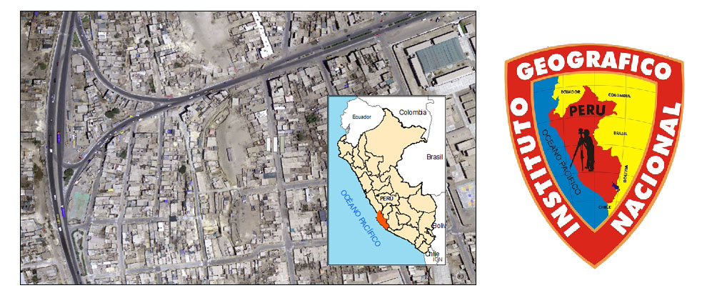
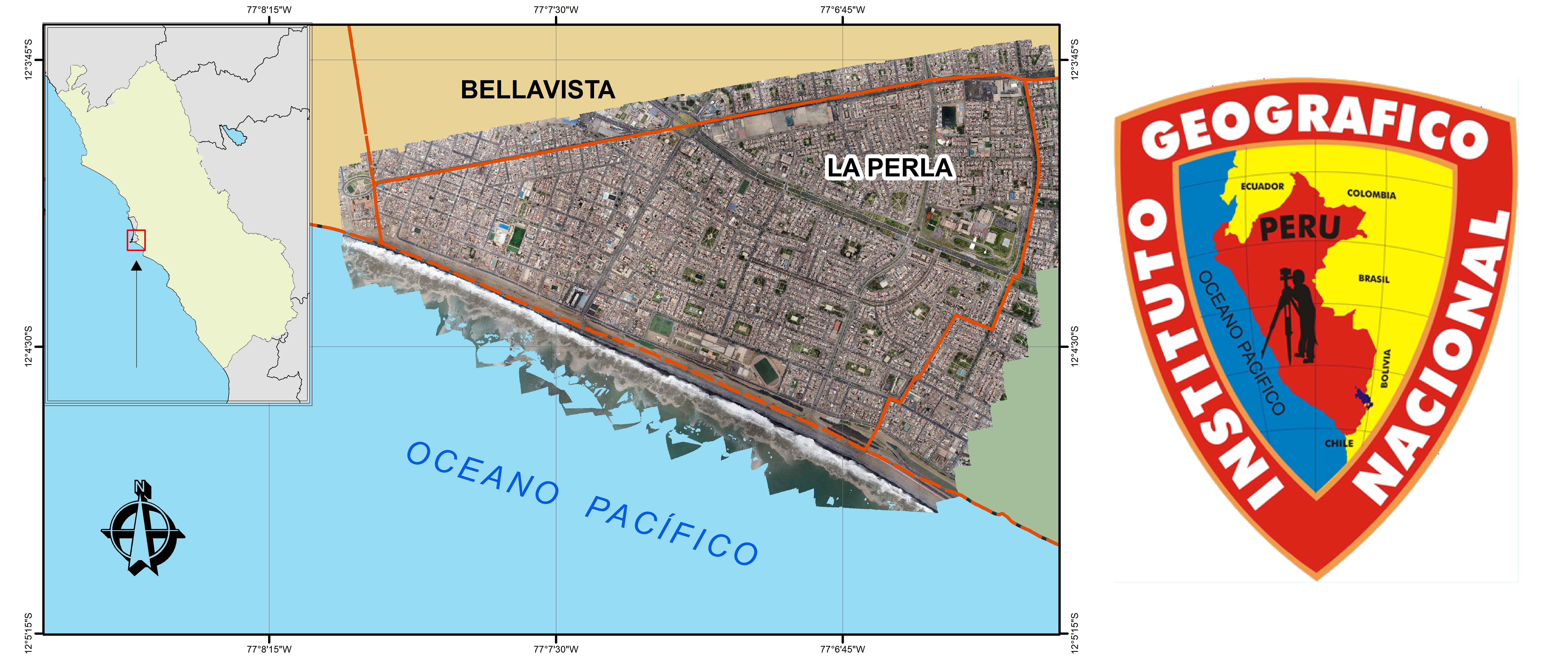
    Aquí encontraremos una Ortofoto del distrito de La Perla, Lima - departamento del Perú, podremos observar al distrito a través de una imagen tomada por drones.